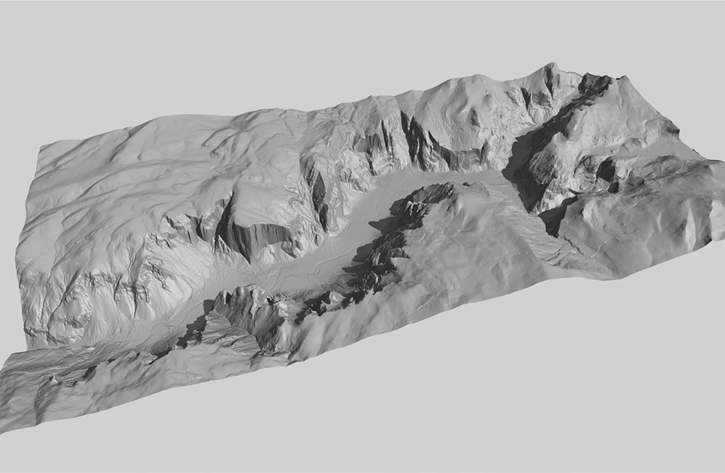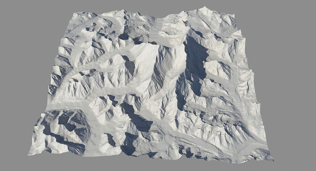
 One innovative technique developed at xRez Studio is the integration of digital elevation models (DEM) with high-end 3d rendering and gigapixel images. Another innovation we have developed is to integrate time lapse sequences with DEM data, allowing new, inventive cinematography where a virtual camera can dolly deeply into the image while lapsing in time. These techniques can be combined with visual effects technique to provide a vast range of terrain modification or visualization. On the 2008 Yosemite Extreme Panoramic Imaging Project, these techniques were employed to create a novel and unprecedented orthographic view of the valley walls, draping twenty multi-gigapixel panoramas onto 1M LIDAR DEM data, creating a landscape photograph devoid of perspective, a first in landscape photography.
LINK to Yosemite Extreme Panoramic Imaging Project